 Fraunhofer Institute for Solar Energy Systems ISE
The processing of spatial data is a key component in the evaluation of hydrogen infrastructures. The transition from a fossil-fuel-based to a climate-neutral, hydrogen-based economy presents a wide range of challenges for all stakeholders. By utilizing geographic information systems (GIS) and our HYSCOPE simulation toolbox, we can map, analyze, and optimize – from a geo-technical and economic perspective – both the necessary conversion and new construction of infrastructure as well as the entire value chain of regional supply chains.

We localize and analyze suitable hydrogen model regions using geographic information systems (GIS).
Optimal Placement and Scaling of Electrolysers
We identify and analyze model regions for hydrogen using geographic information systems (GIS).
© Fraunhofer ISE
Analysis and Optimization of Regional Hydrogen and Power-to-X Ecosystems
Our Services Include:
- Local renewable energy potential analysis for green hydrogen production and application
- Geo-techno-economic analysis: Nonlinear, dynamic, and spatially resolved optimization of hydrogen, CO₂ and PtX supply chains for a simultaneous and synergistic supply to potential customers
- Site optimization for electrolysers, hydrogen refueling stations, PtX synthesis plants, and other infrastructure for synthetic material-based energy carriers
- Calculation of delivery costs to consumers via pipeline, trailer, train, and inland waterway vessel
Your Benefits:
- You receive a representation of the entire value chain of a holistic, hydrogen-based ecosystem for synthetic energy carriers, which forms the basis for your hydrogen model region or hydrogen or PtX supply chain.
- Our analyses provide you with a data-driven basis for decision-making regarding the optimal placement and scaling of electrolysers and other facilities in the hydrogen value chain within a region, ensuring cost-effective supply while avoiding future “stranded assets”
- Our geo-techno-economic optimization of a regional supply chain provides you with the optimal generation and distribution solution for one or multiple consumers in a region
- You will gain insight into the optimal transport options for hydrogen or PtX products via trailer, train, ship, and/or pipeline to potential customers
- Presenting this information in map form or through interactive web atlases helps to clearly communicate scientific findings and supports decision-makers.
Potential Analysis for the Production and Use of Green Hydrogen

Web atlas for presenting simulation results (from the PoWerD collaborative project).
By using various data-driven tools, we are able to spatially evaluate and visualize the supply of renewable energy. We consider local constraints and use landscape and terrain models to identify potential sites for electrolysers. By linking generation time series, we can thus determine the total potential within the study area with spatial and temporal resolution. We also assess and map the regional hydrogen demand potential depending on decarbonization strategies. These analyses serve, among other things, as a basis for the optimized placement and scaling of hydrogen production facilities and infrastructure.
Research Projects:
TransHyDE – Transport Solutions for Green Hydrogen
PoWerD – Atlas for Suitable Electrolyzer Locations in Germany
H2-SO – Hydrogen Technologies in the Southern Upper Rhine Region
Geo-Techno-Economic Analysis of Hydrogen Model Regions and Hubs

Räumliche Analyse der H2-Produktion, -Verteilung und -Abnehmerstruktur für die Region Ostwestfalen-Lippe.
Based on the regional distribution of generation potential for renewable energy and hydrogen, potential users, and other factors such as existing infrastructure, we optimize a region’s spatially resolved hydrogen value chain in our “geo-techno-economic analysis.” For this, we use the HYSCOPE (HYdrogen Supply Chain OPtimization Engine) modeling environment for spatially resolved simulation-based optimization. The prefix “geo-” in the classic techno-economic analysis highlights the potential for simultaneous optimization of the size, location, and operation of all relevant facilities in a region. In this process, various options for hydrogen transport are analyzed based on local infrastructure, such as gas, road, and rail networks. Particular focus is placed on the transformation of applications and infrastructure, as well as the integration of the analyzed region into a higher-level energy system, for example through the import and export of electricity and hydrogen.
Research Projects:
Site Optimization of Hydrogen Infrastructures

Simplified representation of the Southern Upper Rhine and High Rhine region with geographic distribution of the most important plants and necessary hydrogen transport lines. (HRS = Hydrogen Refueling Station)
Both the specific spatial distribution of hydrogen demand and production potential, as well as their scale, have a significant impact on the design of a hydrogen region, not least with regard to hydrogen production costs. Using our analytical tools, we are able to determine a targeted, optimized layout for a specific hydrogen region. In doing so, we not only calculate the infrastructure layout with the lowest investment costs but also optimize for ideal transport options and routes (trailer delivery), the ideal sizing of, for example, electrolysers and/or refueling stations, or the influence of a hydrogen network. We base our work on demand scenarios and local conditions. This allows us to determine optimal supply structures and their costs specifically for the model region and its stakeholders.
Research Projects:
TransHyDE – Transport Solutions for Green Hydrogen
PoWerD – Atlas for Suitable Electrolyzer Locations in Germany
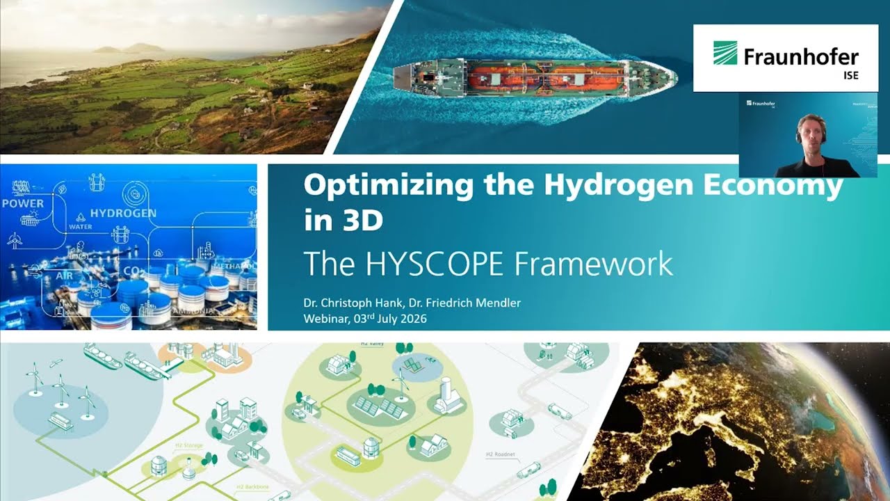
HYSCOPE – Our Spatially Resolved Optimization Framework for Hydrogen Regions
We introduce HYSCOPE, a sophisticated optimization tool developed at the Fraunhofer ISE allowing optimization of regional Hydrogen and Power-to-X systems.
Privacy warning
With the click on the play button an external video from www.youtube.com is loaded and started. Your data is possible transferred and stored to third party. Do not start the video if you disagree. Find more about the youtube privacy statement under the following link: https://policies.google.com/privacyRecording of our Webinar on July 3, 2026