The use of geographical data is an important building block for the evaluation of hydrogen infrastructures. The transition from a fossil-based to a hydrogen-based economy poses numerous challenges for all stakeholders. By using geographic information systems (GIS) and combining our GIS tool set with the “H2ProSim” toolbox, we can map both the necessary conversion and new construction of infrastructure as well as the entire value chain of model regions.
Analysis of Hydrogen Model Regions
We Offer:
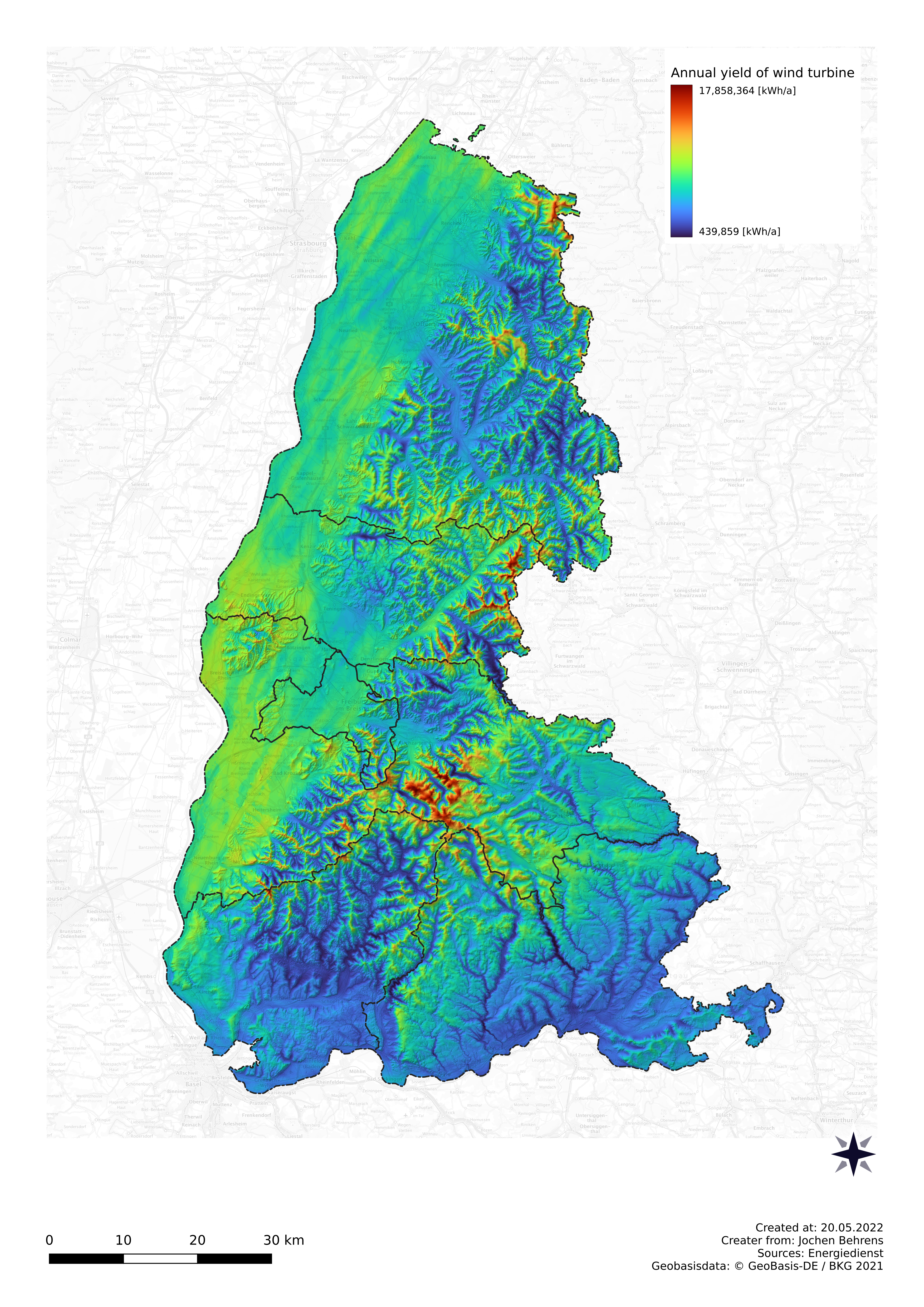
Analysis of the Potential of Renewable Energies for Green Hydrogen Production
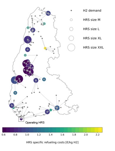
Site Optimization of Hydrogen Infrastructures
Your Benefits:
- Our analyses provide you with a data-based foundation for deciding the optimal placement and scaling of hydrogen production plants (electrolyzers) in a region.
- You will know the optimal transportation and distribution of hydrogen by trailer, ship, train, and/or pipeline to potential customers.
- You will receive a map of all the sectors involved in a comprehensive hydrogen ecosystem, which can be used as a starting point for your model region.
- The presentation in map form or as a web application will help to communicate the scientific findings clearly and support decision-makers.
Analysis of the Potential for the Production of Green Hydrogen

By using various data-based tools, we are able to geographically evaluate and depict the supply of renewable energies. We take local restrictions into account and use landscape and terrain models to determine possible sites for electrolyzers. By correlating the time series of energy production, we are able to determine the overall potential for the production of green hydrogen within the area under investigation with regard to spatial and temporal distribution. This potential serves, among other things, as a basis for the optimized placement and scaling of hydrogen production plants.
Research Projects:
System Analysis – TransHyDE Project on Transport Solutions for Green Hydrogen
PoWerD– Atlas of Suitable Sites for Power-to-Hydrogen Plant in Germany
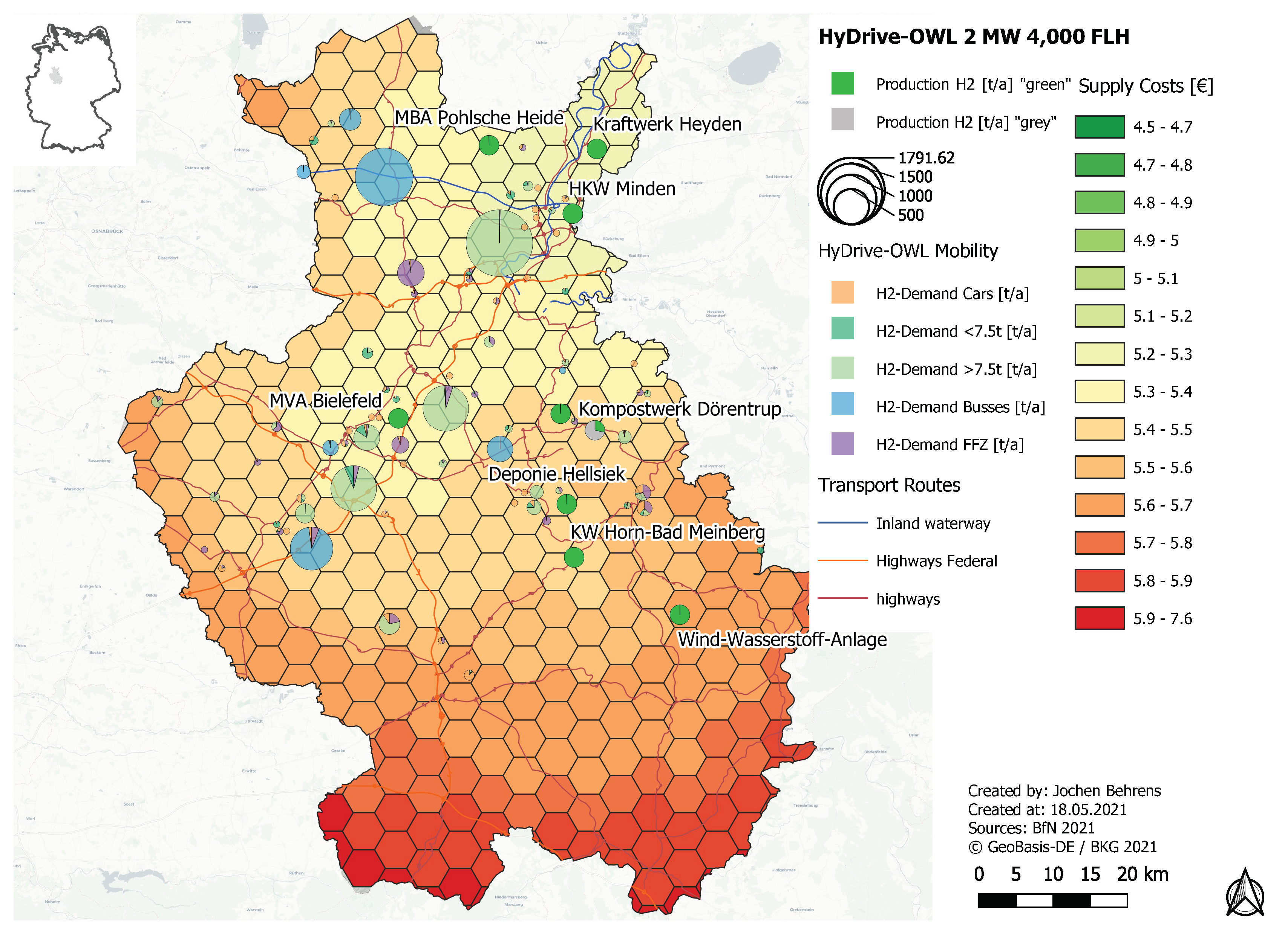
Geo-Techno-Economic Analysis of Hydrogen Model Regions

Based on the regional distribution of generating potential for renewable energies and hydrogen, potential users, and other factors such as existing infrastructure, we optimize the geographically disaggregated hydrogen value chain of a region in the “geo-techno-economic analysis.” The prefix “geo-” added to the classic techno-economic analysis illustrates the potential for simultaneous optimization of the size, location, and operation of the relevant plants in a region. Various options for hydrogen transport are optimized on the basis of the local infrastructure, such as gas, road, and rail networks. Special focus is placed on the transformation of applications and infrastructure as well as the integration of the analyzed region into a broader energy system, for example via import options for electricity and hydrogen.
Research Project:
Site Optimization of Hydrogen Infrastructures

Both the specific geographic distribution of hydrogen demand and production potential, as well as their dimensioning, have a significant impact on the design of a hydrogen region, not least with regard to hydrogen production costs. With our analysis tools, we are able to determine an optimized layout for a specific model region. In doing so, we not only calculate the infrastructure layout with the lowest investment costs, but also optimize with regard to ideal transport options and routes (trailer delivery), the ideal dimensioning of e.g. electrolyzers and/or filling stations, or the influence of a hydrogen network. We take into account the demand scenarios and local conditions. In this way, we can determine optimal supply structures and their costs specifically for the model region and its stakeholders.
Research Projects:
System Analysis – TransHyDE Project on Transport Solutions for Green Hydrogen
PoWerD– Atlas of Suitable Sites for Power-to-Hydrogen Plant in Germany
